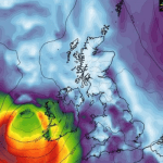
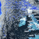
The UK Met Office has warned Brits to brace for heavy flooding and travel disruption.
An urgent tornado warning bringing 50mph winds was also issued ahead of a massive rainstorm that is expected to deluge 16 regions with the potential to create “danger to life.
The Met office advised Brits to stay safe and avoid travelling by road as up to 60mm worth of torrential rainfall will cause flooding in several areas, affecting communities already recovering from recent deluges.
Rivers will also continue to rise after the rain clears, it added.
Slow moving showers and thunderstorms today is expected to intensify through the afternoon into the late evening, merging into “a large band of heavy rain” – with central and eastern parts of the warning area bearing the brunt of the storm, the Met Office said.
Some places, especially across central and eastern parts of the warning area, are likely to receive 30-40mm in three hours or less, and perhaps 50-60mm or more in around six hours.
“This rain will fall onto already saturated ground and affect communities recovering from recent flooding. Travel disruption and further flooding is likely, with rivers continuing to rise after the rain clears.” the Met office added.


