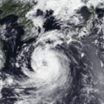
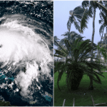
Tropical Storm Beryl is expected to make its final impact in Texas in the early hours of next week, following days of devastation as a major hurricane in the Caribbean.
The storm has entered the Gulf of Mexico and is expected to make its final charge towards the American shore as a hurricane shortly before impact. Forecasters will then closely monitor the storm’s remains.
It is approaching its third and final landfall after smashing the Antilles as a powerful hurricane with catastrophic winds.
As a Category 2 hurricane, Beryl pounded Mexico’s Yucatan Peninsula with strong winds, heavy rains, and deadly coastal flooding.
Communities in the storm’s path should expect severe gusts, flooding rains ranging from 250 to 380 mm in certain areas, and life-threatening storm surge flooding along the coast.
Beryl appeared in the southern Gulf of Mexico on Friday night as it shifted slightly to the northwest.
The Gulf’s warm waters will most likely allow the system to gather strength and organization before reaching the Texas coast during the weekend.
A hurricane watch is in force for the southern part of Texas’ coast, which includes Brownsville and Corpus Christi. A storm surge watch covers areas of the coastal region.
After impact, the heat dome in the southeastern United States is likely to direct Beryl’s remnants over the region.
It’s difficult to predict what, if any, effects the storm’s remnants will have on Canada because the possibility is more than a week away. However, the remains may cause colder and less humid conditions to arrive later or vary the consequences.


