The UK Met Office has increased its weather warnings as the country prepares for heavy snowfall, slippery conditions, and dropping temperatures that could cause power outages and travel disruptions.
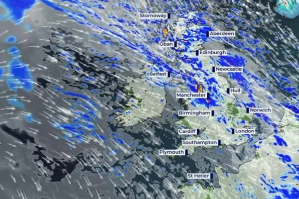
Weather experts have issued yellow warnings for ice throughout Britain’s east coast, from Northumberland to Norwich, which are valid until midday Wednesday.
A secondary snow and ice alert is in effect for northern Scotland until Thursday afternoon.
The Met Office has issued snow and ice warnings for parts of Northern Ireland, Scotland, Northern England, and the Midlands, as an Atlantic low pressure system delivers frigid temperatures.
Snow showers, some with lightning, started overnight and will last until Wednesday morning, according to Met Office spokesperson Stephen Dixon,

Scotland may see very significant snowfall this weekend, with experts predicting up to 10 cm in higher elevations and up to 20 cm in hilly places.
The harsh weather has already caused significant disruption in Wales, where more than 140 schools closed on Tuesday (19) across several regions including Wrexham, Powys, and Flintshire.
People are being urged to prepare for possible power cuts and travel difficulties as the cold snap tightens its grip.
The Met Office warns that rural communities could face temporary isolation due to the severe weather conditions
In its latest five-day forecast, the national weather service warns of wintry conditions affecting travel and daily activities. Forecasters predict temperatures will remain below average for this time of year.
The warning extends into tonight, with meteorologists forecasting “another cold night with sleet and snow showers continuing in exposed areas”.
A widespread frost is expected to form under clear skies, though the far southwest will become cloudier later.
Thursday’s (21) outlook remains chilly for most of the UK, featuring sunshine and wintry showers in exposed areas.
The southwest is predicted to be cloudier with some rain and possible hill snow. The Met Office added that conditions will be “rather breezy”.
The outlook for the weekend predicts that wintry conditions will persist.
According to the Met Office, Friday (22) will see further sunshine and wintry showers, followed by overnight frost and ice.
Saturday (23), however, will see a transition to mostly wet and windy conditions, with some hill snow, while Sunday (24) will see blustery showers, according to the forecast office.
The Met Office has recommended the public to stay up to current on the latest forecasts and warnings, especially those planning to travel.


